Fidya Rismayatika (利小貓)
Geospatial Analyst
with strong interest in Climate, Vegetation, and Biosphere
Hi! my name is
Most of my friends and collagues told me the I am looking good in pastel colors and fits my vibes. This encourages me to use
If you have any inqury, please do not hesitate to reach me out (preferably by email)
Get to know more about meGeospatial Portfolio
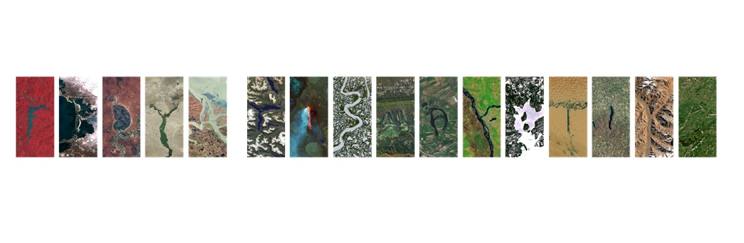
This section lists the geospatial analysis I have done in the past. Each project includes an image slideshow with descriptions. The portfolio were split into three groups listed below. Click on any image to see more details from each portfolio.
• Map Layouting (Cartography)
Contents: Maps with various cartographic styles.
• Spatial Analysis & Processing
Contents: Various spatial analysis and geospatial data processsing.
• Additional Data Visualization
Contents: Non-geospatial data visualization derived from geospatial data for research purposes.
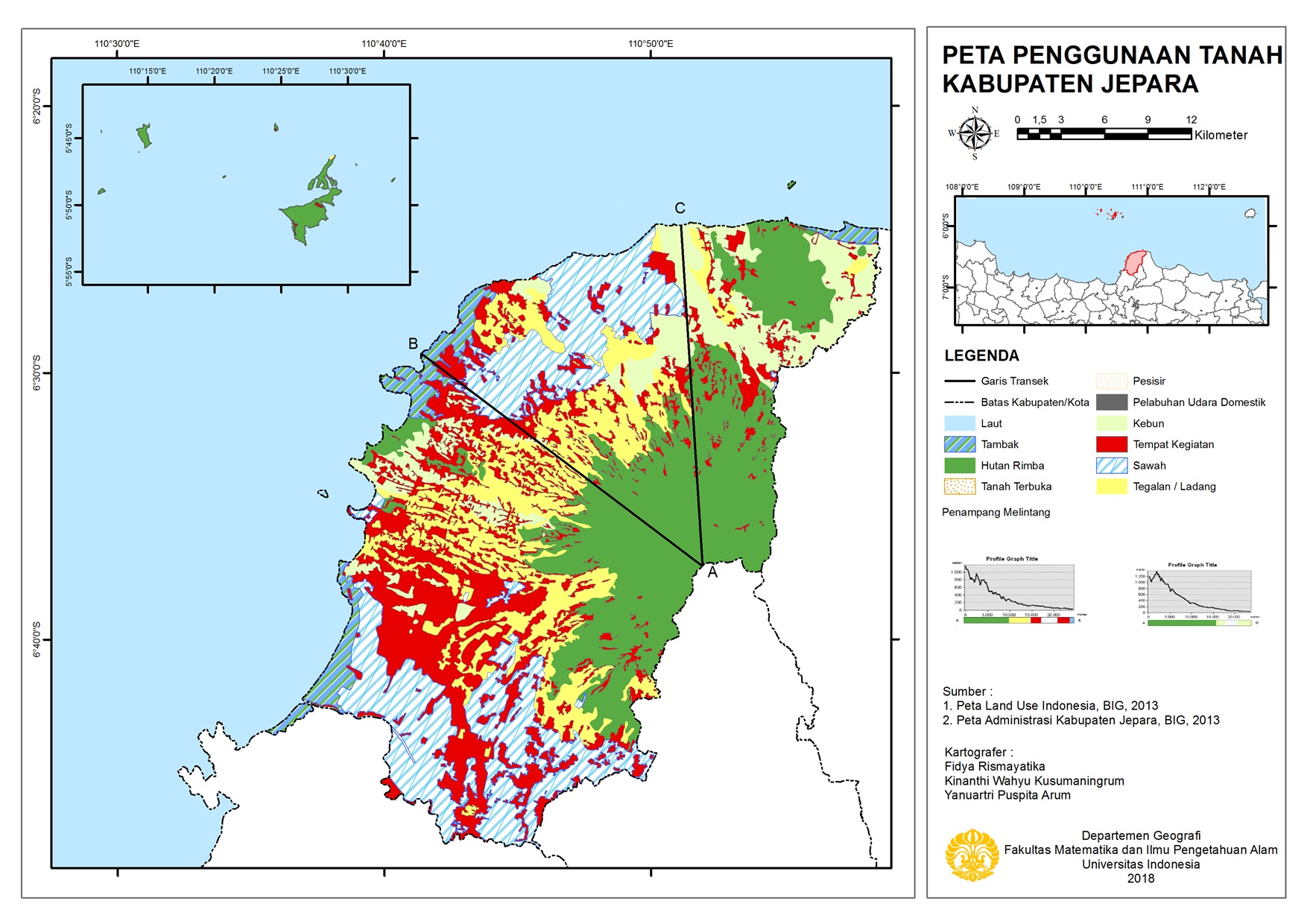
Map Layouting (Cartography)
This portfolio group includes several maps I produced with various cartography styles.
As a geographer,
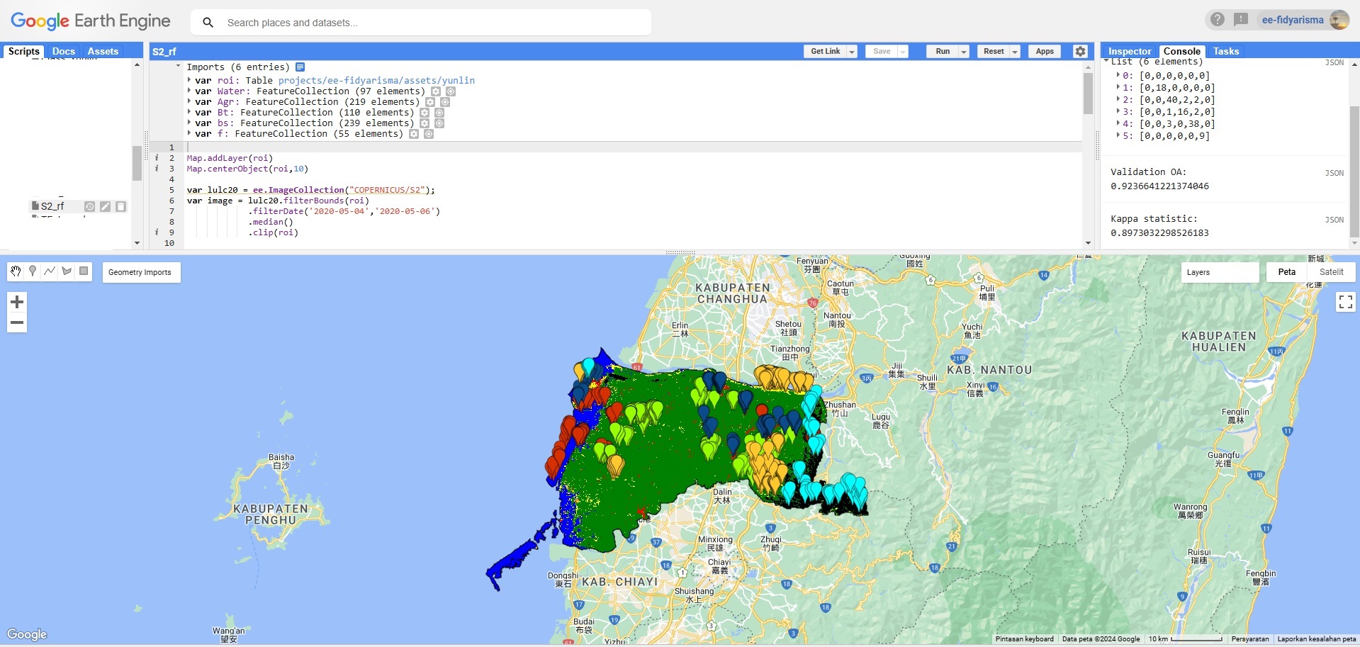
Spatial Analysis & Processing
This portfolio group includes several geospatial analysis for either visualization and research analysis purposes. The analysis mostly was done to support further endeavor in identifying a feedback, pattern, or supporting visualization. The map analysis was done mostly on ArcMap 10.6, Google Earth Engine, and MATLAB R2024a using various MATLAB packages and toolboxes, which can be found on each image description.
Additional Data Visualization
This portfolio group includes several additional visualization and analysis using for research analysis purposes. The analysis mostly was done to support further endeavor in identifying a feedback, pattern, or supporting visualization. The map analysis was done mostly on MATLAB R2024a using various MATLAB packages and toolboxes, which can be found on each image description.

Interactive Map - Google Earth Engine
This section features embedded interactive maps application developed using Google Earth Engine (GEE) Apps which is easy and free to use.
The embedded GEE Apps on this section is only adapted for portfolio purpose. For full size, please click on the portfolio title.
Potential Fishing Zone (PFZ) Parameters Map
in the Southern Coastal of Java Island
This project was developed to create a satellite data platform for sustainable ocean environment observation based on Challenge 7 (Sustainably expand the Global Ocean Observing System) and Challenge 8 (Create a digital representation of the ocean) of Ocean Decade 10 Challenges. The platform was built for sustainable fisheries by integrating various remote sensing data. The data available in this GEE Apps runs from 2022/01/01 until present.